![]() thehs2
thehs2
these web pages
are being produced by
Barry Cornelius
home
London to WestMids
Phase 1
maps
locations
KMLs
WestMids to Crewe
Phase 2a
maps
KMLs
official DfT data
Crewe to MCR
WestMids to Leeds
Phase 2b - 2016
maps
KMLs
official DfT data
Phase 2b - 2013
maps
KMLs
official DfT data
Other web pages
what is the HS2?
links
tweets
contact
privacy
Changes to the web pages for Phase 2 of the proposed HS2
|
Initially,
the Department for Transport (DfT)
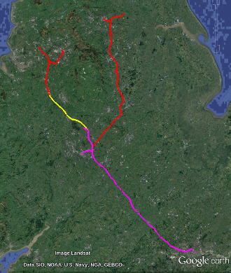
proposed to create the HS2 in two phases: Phase 1 being from London to the West Midlands (including Birmingham)
and Phase 2 taking the line further North.
In 2015, Phase 2 was split into two stages: Phase 2a will be from the West Midlands to Crewe.
And Phase 2b will have two legs: one from Crewe to Manchester and the other from the West Midlands to Leeds and South Yorkshire.
Because the Department for Transport (DfT) provides separate data files for Phase 2a and Phase 2b, this web site now has separate web pages for Phase 2a and Phase 2b.
You tried to access the web page at
Or you can access the separate web pages for Phase 2a and Phase 2b using the menu on the left. |
|

